Viewing entries tagged
Nelson Goldman expedition

"The Devil's Road" Main Expedition, Day 52

April 19th (Guerrero Negro to a desert camp)

I had heard, some time ago, about an attempt to breed and set free the Baja Pronghorn Antelope. These majestic animals once roamed the peninsula in great numbers. By 1905, Nelson and Goldman were only able to find a few hoof prints, but no animals. We arrived at the facility unannounced and asked to film the animals. We were met with opposition, and insistence that protocols and permits were necessary and we were not allowed to film the animals. Disappointed, we took a few still photos and drove back out to the highway.

We were about 40 km from Punta Prieta when we passed a driver in a car heading south that frantically waved his arm and flashed his lights at us. We slowed as we rounded the curve and came face to face with a pickup truck in the ditch next to the road. Several passersby were helping the driver of the truck. His name was Neville and it appeared he had suffered a shoulder injury. I went into fireman mode while JT did his best to film the scene.

The police showed up shortly and went about trying to get all the information they needed for their reports and told me the ambulance was coming from Guerrero Negro and may take an hour. JT and I did our best to help Neville with gathering his stuff, making a list of valuable items, and securing his personal affects. He was very lucky that he was driving a newer Ford truck with airbags and was wearing his seatbelt. He said he swerved to avoid a pothole in the road!

With daylight slipping by, we found the perfect camp and quickly set about to stage our next shoot. Nelson documented how they would set up or take down their camp at night by setting fire to several dead yucca or agave plants. This would give them up to an hour worth of light. We recreated that very same situation with several dead agave plants. JT was pleased with the outcome. I, of course, was pleased to light something on fire!

"The Devil's Road" Main Expedition, Day 25

Mulege to Loreto

JT and I found a nice little beach next to a small community of gringo homes just 8 or so miles south of town to spend the night. As usual, last night was a bit chilly and as soon as the sun came up we were warm and ready to get moving. I had some time to blog, drink coffee, and relax as JT came to life in his sleeping bag. I love the Sea of Cortez and the Bay of Conception. Peaceful and embracing.

With the last of the filming needed for Mulege, we drove into town to secure the last glimpse of this spectacular and inviting pueblo. JT struck off by himself, so as to be unencumbered by my "tagging along.” This was an agreement we came to a while ago and it works well...I think!

While in the plaza and catching up on my blogging, I kept noticing and saying hi to an American couple that was walking about. They looked lost and after the 6th or so lap, I asked if they needed any help. They were looking for their lost friend and hadn’t seen her since last night at midnight. They were worried and were heading to the police department.

I finished my work and JT arrived when I noticed the "lost friend" walking down the street, fitting the couple’s description. As it turns out, she was never "lost" and her friends just mistook her actions (getting up early to go for a walk and to get breakfast). We all had a chuckle.

After driving around trying to find the road to the prison museum, we passed the fire station. The firefighter outside the station was wearing a T-shirt that read "Branciforte Fire District" so I slammed on the brakes to stop and talk with him. I gave him one of my patches and told him that his shirt came from my hometown. His English was not good, my Spanish is terrible, and I don't know if he understood me. Regardless, it reminds me how small the world can be!

The Mulege Prison was completed in 1909 and was in operation until 1974. Interestingly, it was the only prison in Baja that was built with no bars. The prisoners were free to go to work every day, but had to return at 6pm. If a prisoner did not return, the others would go and find him.

Our original plan was to head over to San Isidro and not come into Loreto. Nelson and Goldman skipped Loreto completely so as to spend time on the Pacific side of Baja. We wanted to visit the Mission San Javier that resides west of Loreto and in the Sierra La Giganta in a beautiful oasis valley.

The Hostel Casas Loreto opened up their doors to us and we decided to stay two nights. Parking was not an issue as Abel (our host) told us to park the bikes inside...next to our room. 

Bikes inside Casas Loreto hostel. Thank you, Abel!

Bikes inside Casas Loreto hostel. Thank you, Abel!

"The Devil's Road" Main Expedition, Day 24

San Ignacio to San Jose de Magdalena

We wrapped up our filming in San Ignacio this morning by climbing the bluff above the town in an attempt to re-create the famous shot of the mission that Goldman took in 1905. Today, the trees have grown to such heights and buildings have been erected so as to completely impede any view of the mission. We found the other location of the second photo to be the same. I guess that is called progress!

An attempt to recreate Goldman's 1905 photograph of San Ignacio.

An attempt to recreate Goldman's 1905 photograph of San Ignacio.

We saddled up and headed for Santa Rosalia. The short drive put us in town for the noontime rush. The taco stands in town were full and we were left to wander around, looking for one that had two seats for us. Next we set about filming the old El Boleo bakery, the church that Gustavo Eiffel designed, the mining operation, and the old mining ruins. After a full afternoon of filming on a busy Friday, we were ready to get out of town.

Bikes near the historic El Boleo site in Santa Rosalia.

Bikes near the historic El Boleo site in Santa Rosalia.

That night we camped at a spot we found in May, just off the road to San Jose de Magdalena. As I set up camp, JT headed out to explore the nearby town of San Bruno and film. We had a great dinner of beef tacos with salsa verde and broccoli cooked over a fire. 

"The Devil's Road" Main Expedition, Day 23

San Ignacio

Today we decided to head out to the Sierra San Francisco to try to find the Rancho Santa Ana. Nelson and Goldman went through the area and there is a picture (somewhere) of Goldman cinching up the saddle of a horse in front of the ranch. We wanted to get our own photograph to compare with their photo.

It is a strange thing riding up to a rancho in the middle of nowhere and asking a ranchero to take a picture of their ranch. We both felt strange but the young man agreed, though he seemed a little indifferent.

Next we set off to get to the salt flats on the way to the Sierra Santa Clara. Goldman spent a few days in this region looking for antelope. Having once been abundant, Goldman stated during his 1905 visit that they were then very rare.

We got to the edge of the salt flats and JT sank his bike into the soft muddy sand at the perimeter. It was a long and muddy walk out to the salt encrusted areas, but JT was able to get some great shots.

"The Devil's Road" Main Expedition, Day 21

To Goldman Peak

Edward William Nelson bestowed (in my mind) the ultimate honor to his respected colleague, naming a prominent peak after his friend and partner, Edward Alphonso Goldman. This peak lies just north and east of the Santa Gertrudis Mission and slightly north of the 28th parallel of latitude. Nelson described it as being near 5,000 feet of elevation. 

The crew, consisting of JT, Todd, Greg, and Guy headed up one of the old mission trails (one branch of the El Camino Real) toward Goldman Peak. This trail was built during the mission times and was, in spots, well worn and well engineered. We passed many species of cacti, saw numerous species of birds, and had some amazing views of the surrounding mountains, canyons, and geology. We passed two areas where the forefathers of today's local rancheros had built stacked rock walls to keep in or out their stock. 

On the return trip we somehow got separated. JT and I were in front, followed by Greg, then by Guy. JT and I arrived at the last significant geographical feature along the trail and decided to wait for the others. Greg arrived a few minutes later and we waited for Guy to arrive. After 20 minutes or so in the sweltering heat, Greg offered to stay behind and wait for Guy and suggested that JT and I head back to the mission, our vehicles, and more importantly, water! 

Greg stayed back for another 15 minutes and waited for Guy before he became concerned and decided to hike back up the trail and begin a series of loud yells in an attempt to get Guy's attention. Several yells later, Greg heard a reply. Too far off in the distance to understand the meaning, he continued up the trail. Rounding a corner, Greg intercepts a local caballero (cowboy), Alonzo, who was riding a mule while out checking on his cattle.

Alonzo had not seen Guy and the two began to look for any sign of our lost amigo. They tracked footprints in an arroyo that the trail crossed and started to follow the size 10 tracks until the sand gave way to gravel. A plan was devised and they decided to split up sending Greg back up to the trail and down to the mission. Alonzo was to follow the arroyo and the two would meet up at the mission. Alonzo assured Greg that all was well as he has spent his life in these mountains, could track just about anything, and had rescued many gringos from near death. 

Soon after parting, Alonzo found another footprint of Guy's and not more than a meter away was a fat, coiled rattlesnake. His worst fears began to well up inside him as he feared that our friend Guy may have also crossed paths with this desert viper. The terrain from then on was not conducive to tracking a single person wearing vibram-soled walking shoes, but Alonzo pushed onward expecting the worst of outcomes.

JT and I had been been at the mission for nearly 45 minutes when Guy strolls into the compound without a care in the world. He never saw Greg, but admitted that he heard yelling and at one point, yelled back, but could not figure out the direction or the message being yelled. The canyon walls tend to play tricks on sound when in the bottom of an arroyo

Concern gave way to a new plan. I would hike back up to the last known location for Greg and see if I could find him to give him the word that Guy was OK. Minutes later Greg walked into the compound and clearly was relieved to see that Guy was alive and unharmed. Alonzo rode in 15 minutes later and was also relieved and proceeded to tell a story about a woman that was bit by a rattler several years earlier and needed a helicopter search and rescue to get her to safety. 

We had the most lively conversation that night while sitting around the campfire. We told stories of the day, joked about what Greg would have to say to Sandy (Guy's gal) about loosing him, and about the adventure we had on the way to Goldman Peak.

Scientific director Greg Meyer in a giant cordon.

Scientific director Greg Meyer in a giant cordon.

The Birth of "The Devil's Road" and Searching for Goldman Peak (From the Producer)

Growing up in a family of strong women that continually kept the family history and stories of the past alive, I was truly stunned to find out just several years ago that “Uncle Ed” was a naturalist. Not only was he a naturalist, but he was a relatively well-known naturalist that worked for the United States Biological Survey and the Smithsonian Institution. My mother and grandmother often referred to Uncle Ed in a general, “what a great guy” kind of way. Just a year before his passing in 1945, he accompanied my mother (then only 11 years old), my great aunt, and my great grandfather (Edward’s brother) on a horse pack trip into the High Sierra Mountains.

Edward "Uncle Ed" Goldman, 1945 on horse pack trip in the Sierra Nevada. On this particular trip, the Broken Wagon Films producer's mother was present, accompanying Goldman, her uncle.

Not more than three or four years ago I learned the true background of Uncle Ed, known to the rest of the world as Edward Alphonso Goldman. I began an all out assault on the Internet to find out as much as I could about my great granduncle and his colleague Edward William Nelson. Among the more notable contributions they made to the natural history of Lower California and the documentation of many of Baja’s unknown flora and fauna, was a landmark expedition, the first of it’s kind, spanning one year and over two thousand miles on horseback. The work that the two naturalists did in Mexico has been described as “among the most important ever achieved by two workers for any single country.” Then through the Smithsonian Institution Archives I discovered a peak in Baja that was named after Goldman. Further research found that multiple sources concurred.

In the summer of 2014, I had the opportunity to travel to Baja with my oldest brother, Scott, and our sons. The four of us spent two weeks boating, camping, fishing, and drinking beer on the shores of the Sea of Cortez between Bahia de los Angeles and Mulege. It was on this trip that the idea to retrace naturalist Edward Nelson and Edward “Uncle Ed” Goldman’s route on motorcycles surfaced. It was then, beside a crackling campfire at the base of sand dunes in Mulege and beneath a sky filled with brilliant stars that we decided to embark on an expedition of our own. Paramount on our list of goals to accomplish during this expedition? Find Goldman Peak and climb it.

1919 map of Baja. Goldman Peak at center, northeast of Santa Gertrudis.

Finding the exact location of Goldman Peak began to gnaw at me, the desire growing stronger and stronger. I spent many hours in the library at the University of California at Santa Cruz pouring through historical texts. I came across a book written by Edward William Nelson titled The Natural Resources of Lower California. Nelson found during their expedition that many geographical features were without designations and thought it advisable to propose names for some of them. Many of the names he proposed were after early Baja explorers and missionaries.

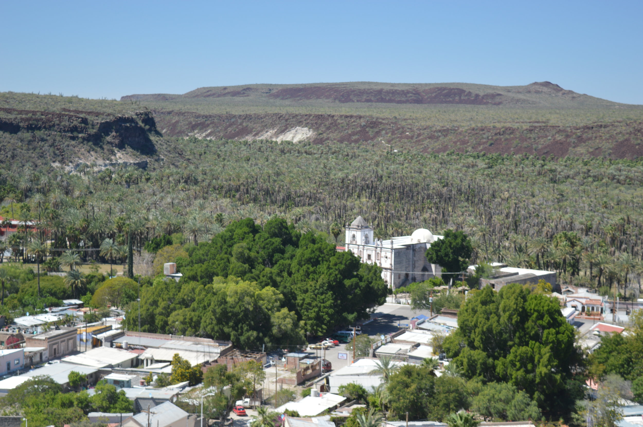
Information about Goldman Peak’s exact location appeared to be non-existent. Nelson, who named the peak after his colleague and friend, Uncle Ed, placed the peak on his map at 5,000 feet of elevation on the 28th parallel of latitude, with the Santa Gertrudis Mission just south of the 28th parallel. Nelson wrote in Lower California and its Natural Resources that the map he created and printed in the book “…contains numerous inaccuracies of detail, but it is hoped that it would serve a useful purpose until more careful surveys are made.”

Another source stated briefly that the peak was northeast of the mission ruins and near the 28th parallel of latitude. Furthermore, Peter Masten Dunne wrote the following in Black Robes in Lower California in 1952: “The Giantees, crowned by the three lofty peaks, Las Virgines, thrusts her spurs down to the California sea and terminates in the north at an elevation of 5,000 feet at Goldman Peak” (page 1).

My next move was to turn my attention to today’s maps to see if I could find the peak. I spent hours and hours meticulously studying the dozens of different maps I could get my hands on—road atlases, topographic road maps, pure topographic maps, and satellite maps. I scrutinized them all. A thorough Internet search also did not reveal an exact location of the peak.

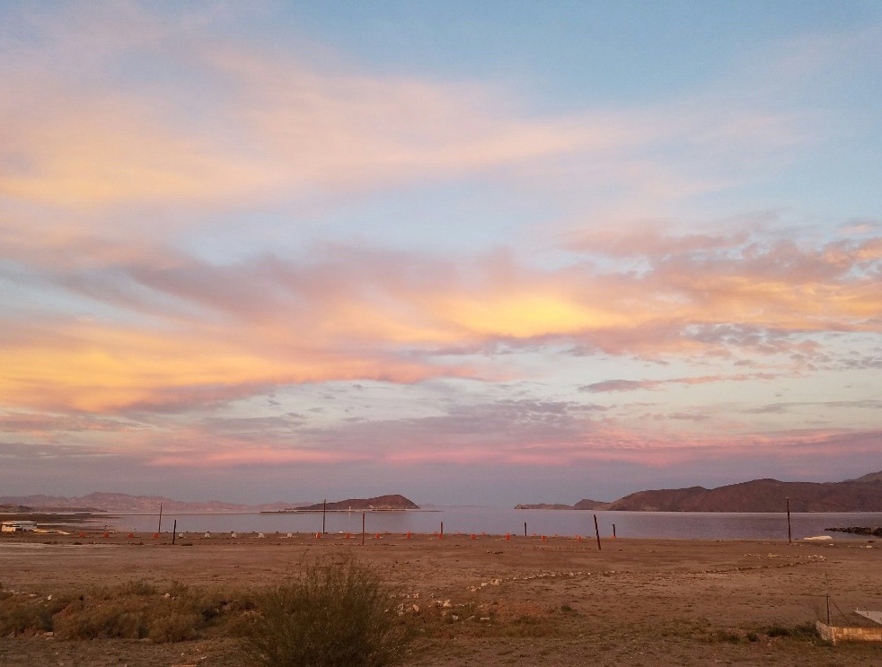
A half-day’s research at the United States Geological Survey in Menlo Park, California, turned up some very promising current maps and historical maps. Some had a great deal of detail, while others were shy of useful information. I did find, however, that all of the current maps used Spanish names for the mountain tops, peaks, and mesas in the area surrounding Mission Santa Gertrudis and the 28th parallel of latitude. I also found that Nelson’s map was incorrect, as he placed Mission Santa Gertrudis below the 28th parallel. Its correct location is north of this latitude line.

Names of prominent features in Baja seem to have a unique history. The Baja Peninsula itself has had several names imposed upon it over the years. Francis Drake, the famous English explorer and pirate, landed on the west coast of North America in 1579 and claimed it “sea to sea” for England and called it “New Albion.”  “Albion,” which means white, was an old term used to refer to England and her “white cliffs of Dover.” Later, a German Jesuit named Father Scherer and his geographer used the name “Carolina Island” to refer to the peninsula, mistaking it for an island. More recently still, the peninsula was just called “California,” then it was referenced as “Lower California” to differentiate between the southern region and “Alta California” to the north. Now the name Baja, which means “below” in Spanish, is the accepted name for the peninsula.

It wasn’t until I stopped looking for a peak named “Goldman Peak” on maps and attempted to look for Spanish named peaks in the general area roughly northeast of Santa Getrudis Mission that I found what I was looking for. On a map on page 12 of the 2009 edition of the Baja California Almanac, I found a peak at roughly the right elevation just west of the Santa Barbara Ranch and northeast of the mission. The name of the peak is Cerro Cantera Rosa. I believe this to be Goldman Peak.

It is my estimation that the name Goldman Peak has fallen out of use for one of two reasons. First, it was Nelson, a “gringo” that bestowed the name to an “un-named” mountain. The name “Goldman” is also a “gringo” name and may not have been accepted by the people of the region. Nelson took the liberty to name many features during the expedition; he named peaks after Kino, Salvatierra, Junipero Serra, Ugartes, Anthony, Bryant, and Brewster. He also named the Vizcaino Dessert and the Magdelena Plain. Only names with an early explorer’s name or historical meaning seem to have been accepted, i.e. Ugartes, Vizcaino, and Magdelena.

The second reason is that the use of “local” names was in favor. I strongly feel that the local peoples would use a particular name and it would have been passed down from generation to generation. Eventually, that named feature is placed on a map. Cartographers typically use preceding maps when updating or creating new maps. Another abnormality found is multiple names for the same feature. Often different names will be used on different maps. I found this map (http://www.bajaflora.org/GMap/Baja1930.htm), published in 1930, that placed “Sharp Peak” (with an elevation of 5,000 feet) near the location where Goldman Peak is believed to be located, thus continuing the confusion.

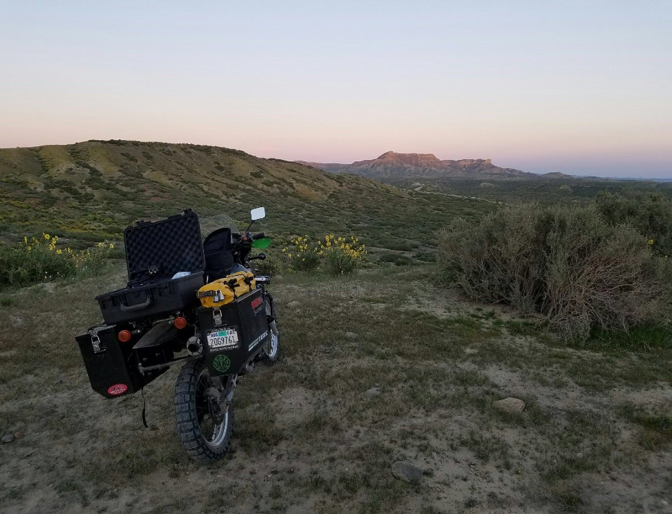
Regardless of the details, or lack thereof, we plan to climb Cerro Cantera Rosa, if for no other reason than to claim it as our own Goldman Peak.
 

- Todd Bruce, Producer, Broken Wagon Films, "The Devil's Road"

"The Devil's Road" Main Expedition, Day 19

Bahia de los Angeles

Jose Mercade was, once again, a host that continues to give and provide. He offered his boat to us for a late morning and early afternoon cruise of the bay. The time between when he opened up the garage door to launch was about 20 minutes. His house sits on the bay and he has his own launch ramp. 

His panga was perfect for our tour and soon we found a small pod of bottlenose dolphins. They played about the bow of our boat for nearly 15 minutes and JT got some great footage of them. They soon tired and fell back to do their thing.

We were on the outside of the first row of islands, just east of Horsehead Island, when we shut down the motor just to soak up the tranquil, windless, and glassy conditions of the water. Suddenly we heard the unmistakable sound of a whale's exhale. We were blessed to experience a single finback whale in a series of feeding dives. After each dive the whale would swim a circle near us with between 10 and 15 surface breaths before diving deep.

In the afternoon, we were lucky to have two great interviews. The first was the great grandson of Dick Dagget Sr. at his RV and fishing camp just north of town. He had invited his mother, Doña Trina Dagget. Dick Dagget was an Englishman that had jumped ship in the 1880s and had made a name for himself in this part of Baja. Nelson and Goldman had negotiated with him in San Quintin to purchase supplies when they arrived at his mine (The King Richard Mine) near Calamajue. When they arrived, the mine was empty and boarded up. Being skilled trackers, they found tracks leading away from the mine and found the party on the beach of a small bay. Their own supplies had run out and a misunderstanding about the timing of the new supply ship caused them to survive on turtle meat, fish, and wild honey for over a month.

Dick Dagget saved the lives of Nelson and Goldman. The younger Dagget was impressed by the story and was happy to connect with us. Doña Trina was a lively and energetic interviewee. She spoke only in Spanish and most of what she said went over our heads. She was missing most of her front teeth so her speach was off a little too. We will have to wait until the translation is complete to really know what she had to say. I can't wait!

"The Devil's Road" Main Expedition, Day 16

Bahia de los Angels to Yubay

JT and I had a lazy morning while we finished packing our bikes. We needed to meet Greg and Guy at Yubay that night, so we set off out of town with full tanks of gas, plenty of water, and a little extra food. Before leaving town, we stopped and had lunch at Alejandrina's Restaurant and had a great meal. 

We turned off the main road onto the road to Yubay (we thought) and headed out into the desert. Soon after leaving the tarmac we got bogged down with sand. Then we were in the rocks and the going was better. After about 5 miles we began watching the GPS arrow indicator wanting to send us in a different direction. We came upon an abandoned mine and the road disappeared. We consulted the map and figured we turned off the main road too soon, so we turned around.

Once we were on the right road to Yubay, we quickly found ourselves in deep sand again. Figuring we were ahead of Greg and Guy, we decided to camp out until they arrived and spend the night right there. Greg and Guy agreed with our assessment of the road conditions and we moved camp up next to the rocks. We had a great fire, several beers and cracked open a bottle of red wine as the sun was setting. What a perfect night to relax and figure out our next move.

"The Devil's Road" Main Expedition, Day 15

Middle of nowhere to Bahia de los Angeles

During our debriefing last night we realized that we were one day ahead of schedule. Not wanting to camp at Yubay for two nights, we decided to head to Bahia de los Angeles, get a hotel, shower (since we have not had one in five days), charge all of our gear and batteries, and regroup.

Tomorrow we will head out to Yubay and meet Greg and Guy to film the tinaja and surrounding areas. 

Sunset over Bahia de los Angeles.

Sunset over Bahia de los Angeles.

"The Devil's Road" Main Expedition, Day 13

El Rosario to Cataviña

We were off quickly with a full day's filming schedule ahead of us. Our first stop was to take the 22-kilometer road out to El Marmol. This is an old abandoned onyx mine. It was being worked when Nelson and Goldman came through, but did not see it's hey day until the early to mid 1900s. The rock was said to be the finest in North America and was shipped to many parts all over the world. It is also the site of the only schoolhouse built of onyx. Now in ruins, it is clear to see the onyx walls and construction still standing tall. 

We attempted to take a side trip to Agua Dulce along the old El Camino Real. Now it is a private ranch, but in 1905 it was the only fresh water around for many miles. The "road" quickly turned into a sand pit and we made the decision to abort that attempt.

On the return to the main road, I dumped my bike at a slow speed on a small hill and it took both of us to right the heavy bike.  

While in the Sierra San Pedro Martir, we met Nathan, a young biologist and guide. He offered for us to stay at his cabin when we came to town. Arriving at his family's restaurant was a whirl of frenzied activity, as there were seven other people also invited to stay at his cabin. All of these folks were photography enthusiasts and two were Nathan’s friends we had met in the mountains.  

In a flurry, we left to his cabin "just twenty minutes away." Not knowing where we were going and just following the truck in front of us was not a good feeling for me. But, I trusted Nathan and the group was enthusiastic. It turned out to be twenty miles on the worst road I have ever been on. The sand was the worst. As the sun was setting, it was getting harder and harder to see the tracks in front of us. We finally made it, and I only dumped the bike 5 times compared to JT's one.  

Nathan's cabin sits on an 8,000-acre ranch and we were promised a tour that would be like no other in the morning. We all sat around a big fire, made burritos, and drank beer, tequila, and mescal. We crashed in the bunk beds in one of the many rooms of the cabin. 

Nathan, local Catavina resident.

Nathan, local Catavina resident.