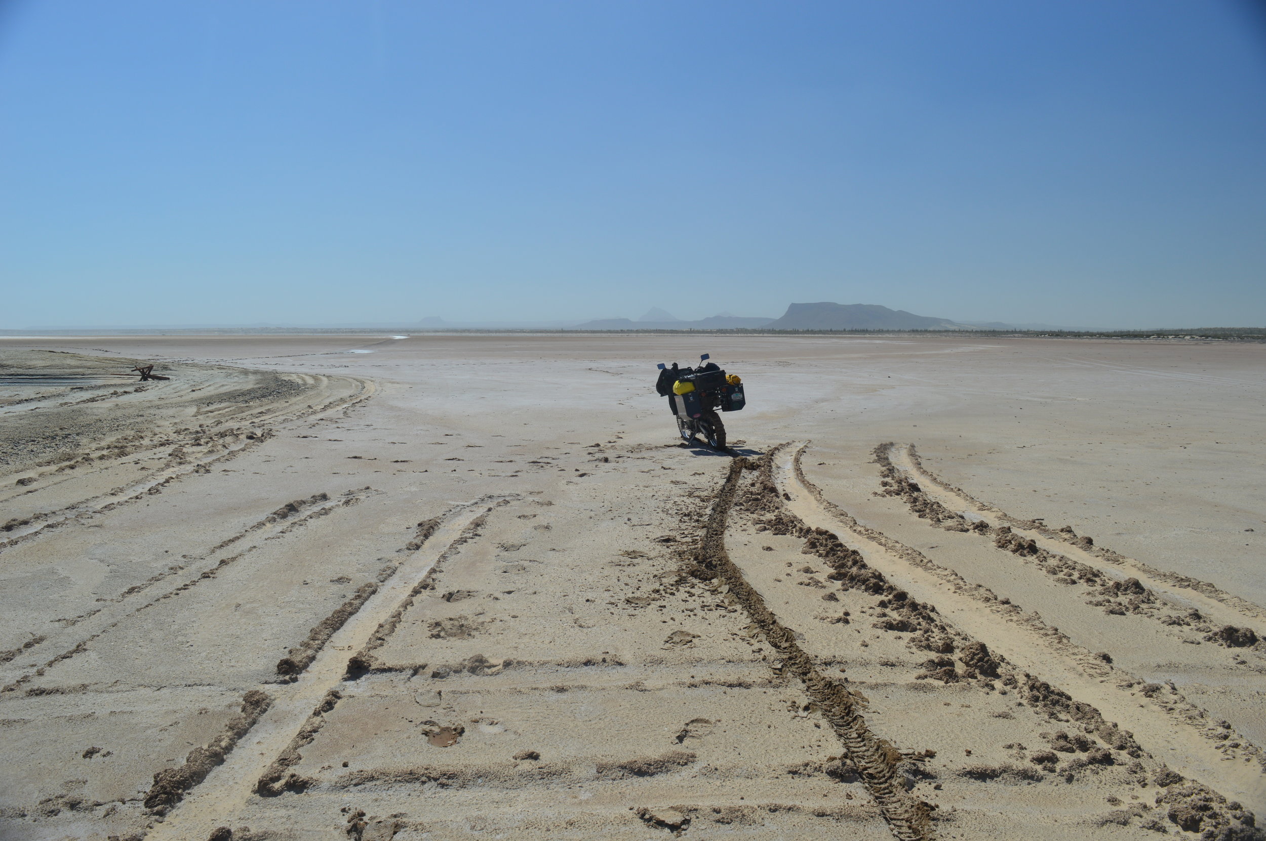
Scorpion Bay to Comondu
San Juanico is the official name for this surfing and fishing village. The locals’ lives are spent around fishing and the gringos all are there for the surfing. During our visit, overlooking the bluff at the best surf spot around, known as Scorpion Bay, there were only three surfers in the water. Back home in Santa Cruz to have clean, head high waves that one could ride for half a mile with only two other surfers would be absolute paradise. I can see the attraction to this place.

Bikes on bluff overlooking Scorpion Bay (San Juanico)
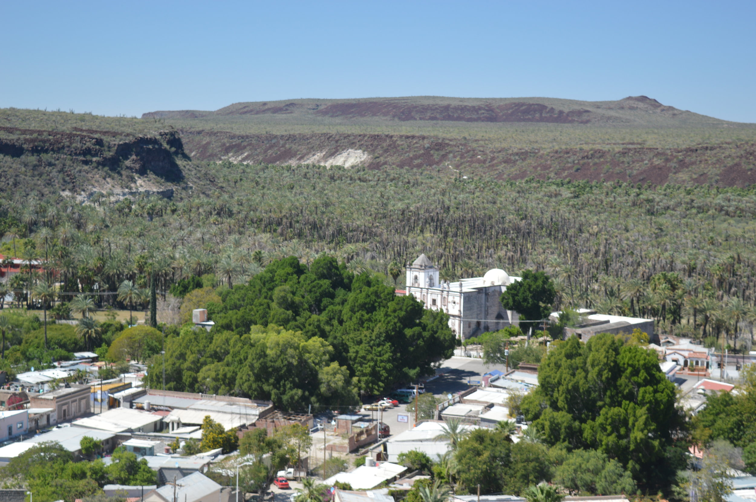
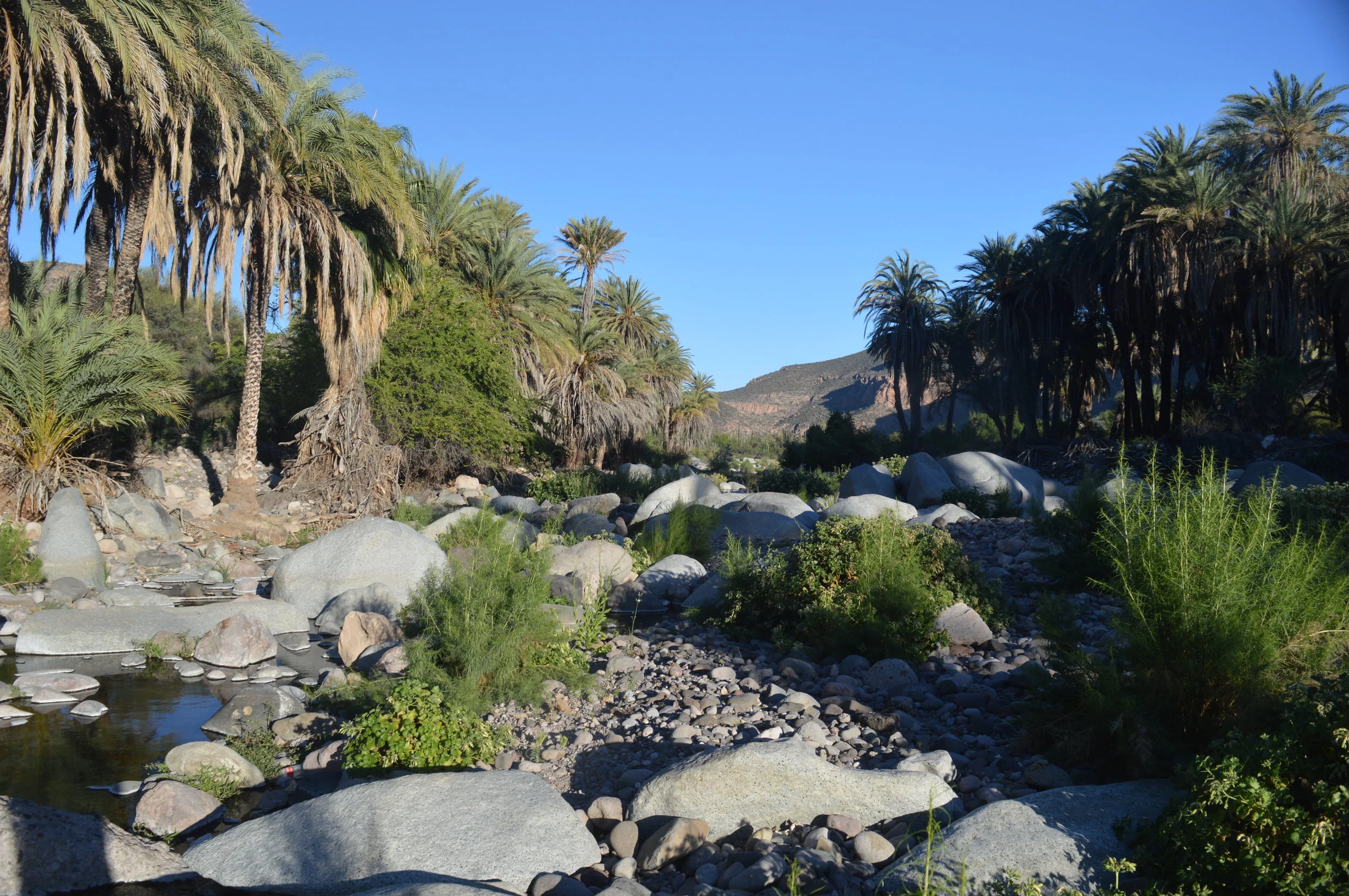
"The Comondus" is how most gringos will refer to the two towns of San Jose de Comondu and San Miguel de Comondu. Both lie about a mile apart and are settled in a beautiful canyon with high lava and basalt rock walls. Goldman wrote that while standing on the wall edge overlooking the valley of these two towns is "one of the most beautiful in all of Lower California." Date and fan palms are widely abundant, crops of various vegetables are grown, and orchards of many varieties of trees seem to be happily growing in this well watered and fertile place.
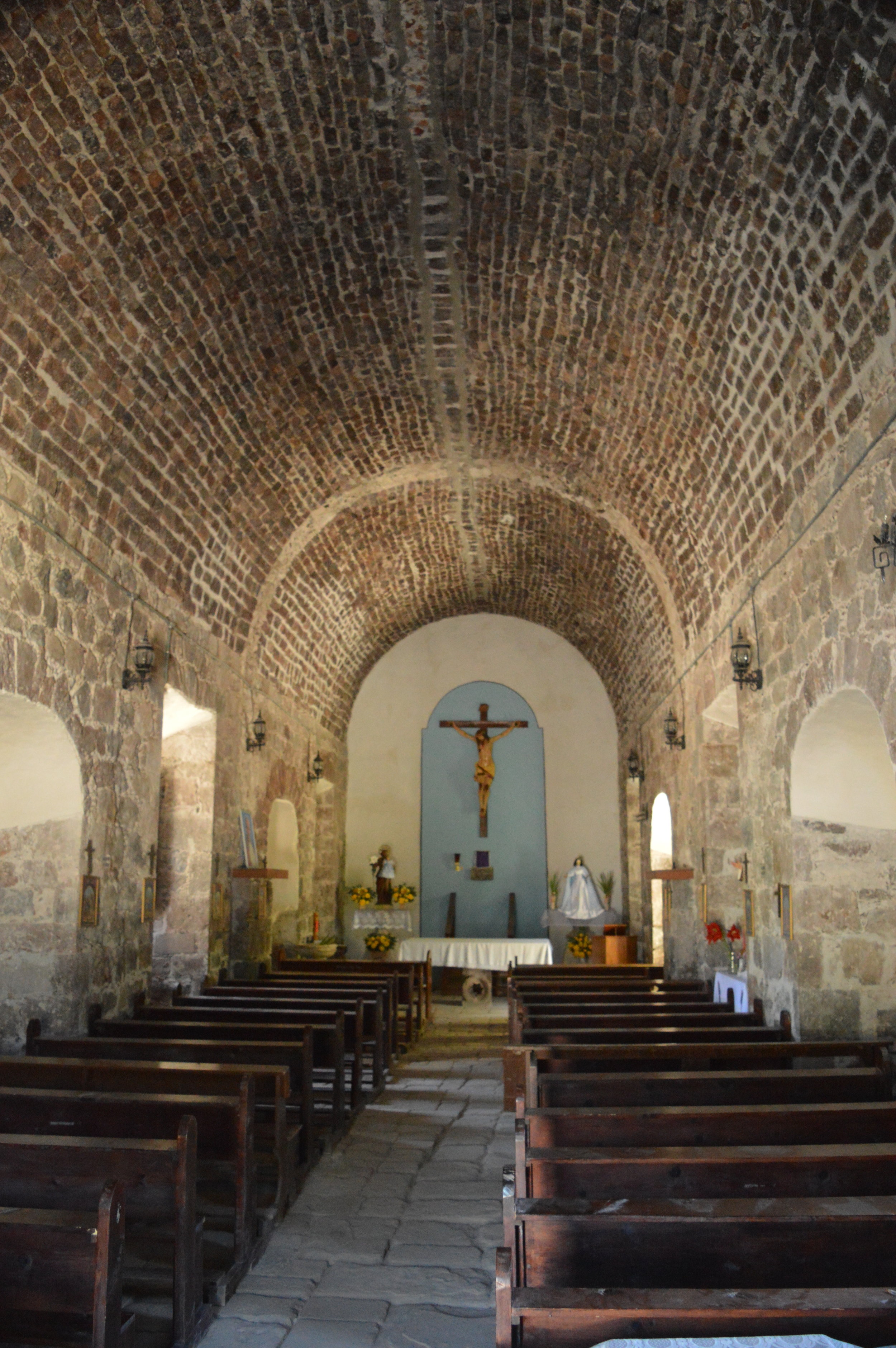
Inside Mision San Jose de Comondu
It is a very sleepy and slow paced town with not much going on. When we arrived at the mission site, there was a group of children on a field trip. That seemed to be the most excitement the town had seen in a while. Nelson and Goldman wrote very little about this beautiful oasis town even though they spent five days here. In 1905, Nelson writes that date palms were scattered irregularly along the stream in a thin line through the vineyards and fields. Today the entire bottom of the canyon is a thick forest of date and fan palms. Several years ago the forest was subjected to a fire of strong intensity. The scorch marks reached to the tops of most trees and left a healthy fire scar on each tree. I suspect that it was a controlled burn to remove debris and litter dropped from the trees and to burn the dead hanging leaves of the fan palms.
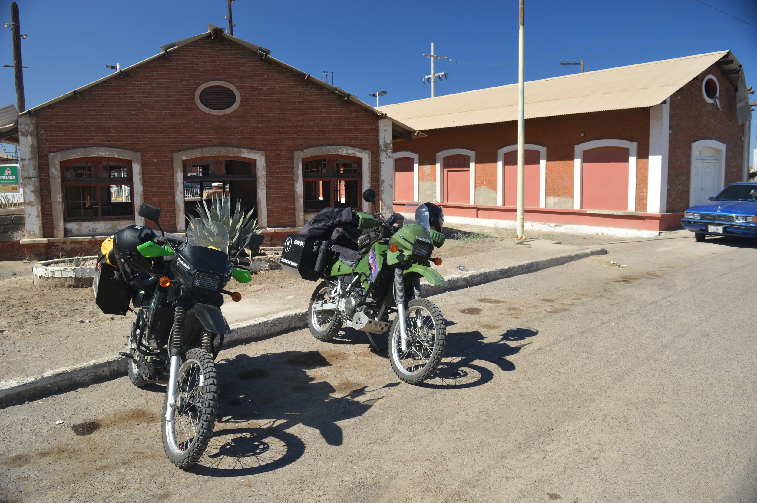
While waiting for our next move and giving ourselves a break from filming in the harsh light of midday, we met and talked with two dirt bikers that rode into town. Greg and Eric had split off from the same group that we met in La Purisima. Both these guys were from Washington State and were quite the characters. We swapped motorcycle stories, learned about each other and our families, and mostly talked about how beautiful Baja is.
While we were all sitting on the side of the cobblestone road in the shade of a young ficus tree, another gringo approaches us from around the corner holding a map. He seemed glad to find someone that spoke English. Then he was glad that someone could tell him where he was. After that, his disappointment began to show. He was carying a single page map of Mexico that had a VERY small sliver showing Baja. He was using that to navigate from Cabo to San Diego.
I pulled out our map and showed him that he was 2 1/2 hours from where he needed to be (which was back were he had come from) and that no other road north was a viable option considering his vehicle and choice of navigation methods. This poor guy from Pennsylvania saw no humor in the matter and walked away with a curt "Thanks."
We camped that night a few miles out of town, well enough away from the water and the bugs, and just off the road so as not to be bothered by the noise of the traffic. Four cars drove past us that night. All of them slowed a bit (most likely they could see the flames of our fire) and then slowly drove off. One even gave us a little honk, just to say hi!