Cataviña to the middle of the desert
All ten of us set off to see some of the sights on Nathan's ranch. The ranch, La Bocana, is located where three rivers converge. We saw two ancient "rock circles" built by the native Baja California peoples thousands of years ago, and found basalt rocks that were chipped to use as cutting tools. We found puma scat, swam in the pool of water in an oasis, and photographed several rock art sites. What an experience and well worth the difficult road to get in and out.
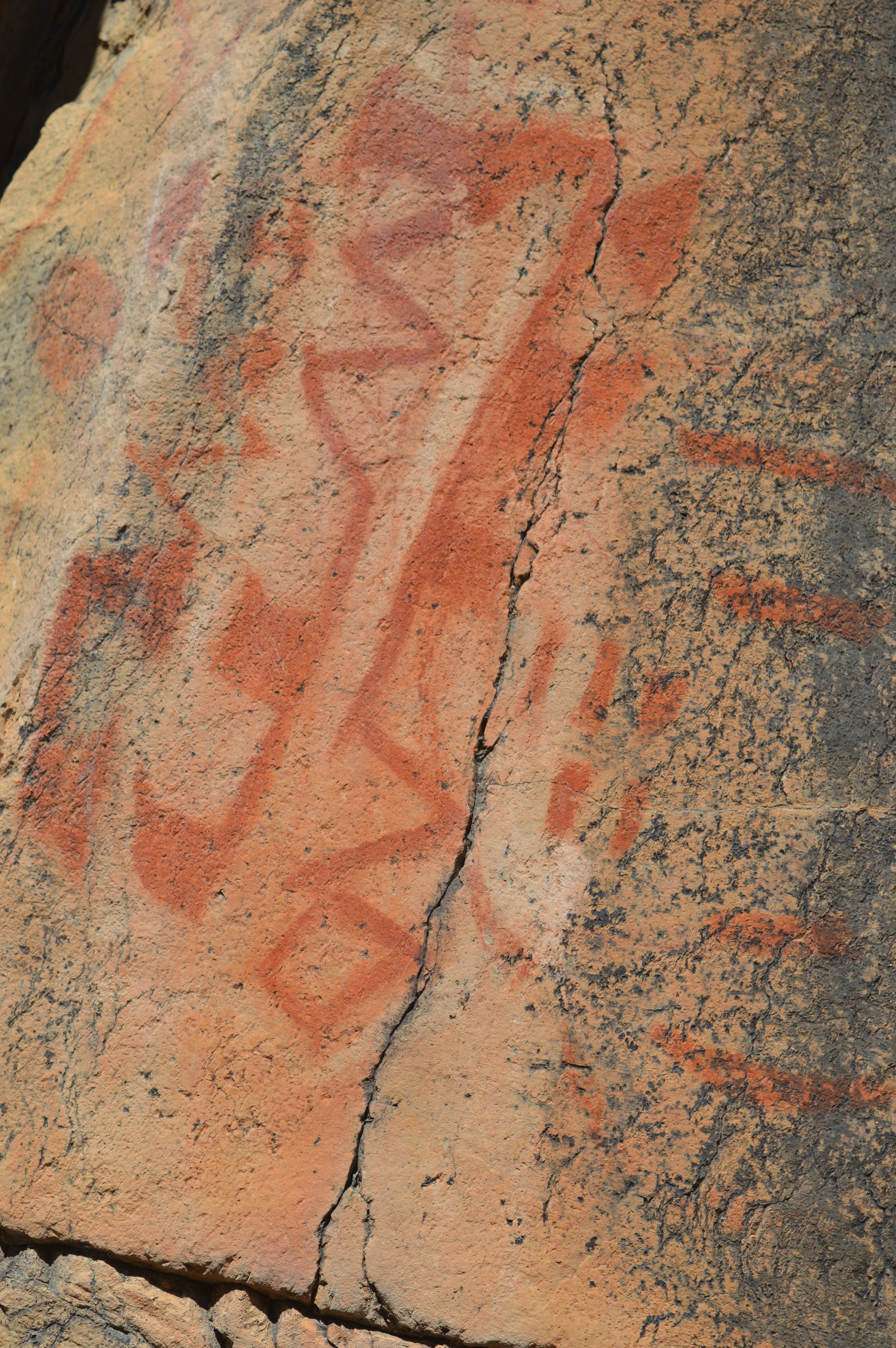
Cave paintings at La Bocana
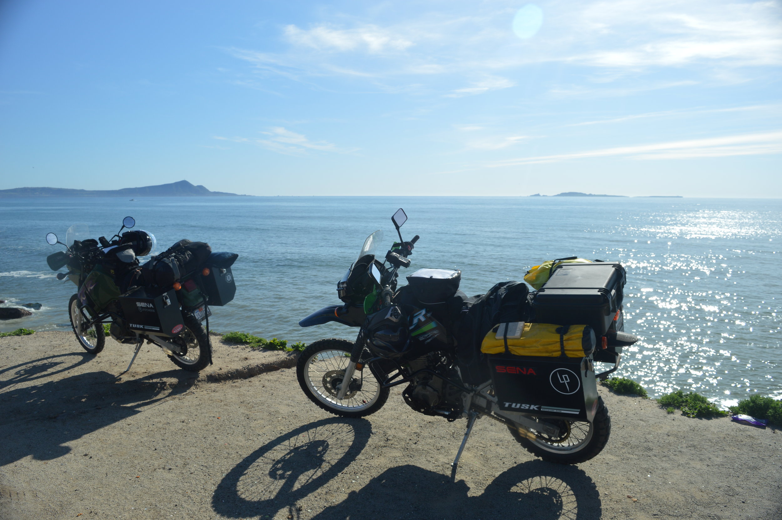
We then set our sights on Calamajue. This is a small bay that was used as a ship landing to offload supplies for the miners in the area and to load shipments heading back to Guaymas or Ensenada. Coco's Corner is well known to those in the motorcycle and adventure crowd and was a confirmed stop of ours. A short consultation with Coco made it clear that the road to Calamajue would not be doable on these bikes unless we were "loco." So, another finely planned adventure was aborted and we were forced back out to the highway and continued heading south.
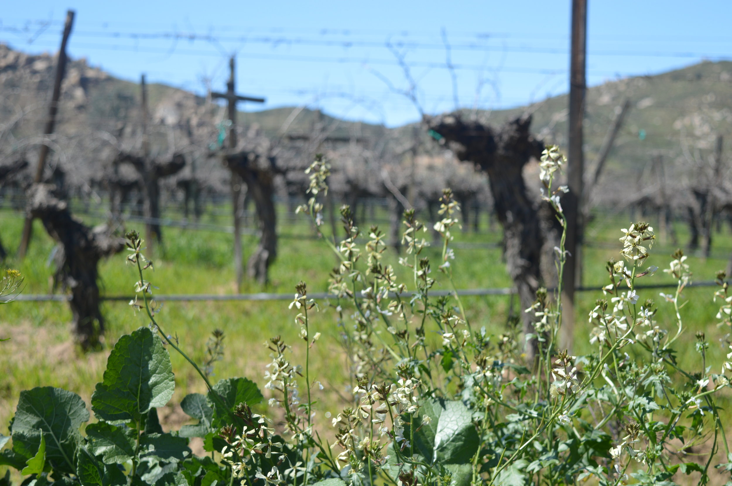
A short drive on a side road to find a good camp spot turned out shorter that we expected as we hit deep sand and I dumped my bike again. We decided to camp right there for the night. The wild flowers were in full bloom and we slept among a flowerbed of blue and purple flowers.

Coco points to "The Devil's Roa" sticker we gave him during our preliminary expedition to Baja. Thank you, Coco!