Viewing entries tagged
motorcycles

The Devil's Road Named Official Selection of India's 2021 Kalakari Film Festival

1 Comment

The Devil's Road Named Official Selection of India's 2021 Kalakari Film Festival

The Devil’s Road is pleased to announce its being named an Official Selection of India’s Kalakari Film Festival, one of India’s premiere film festivals!

Kalakari is an exclusive film festival of India for upcoming artists and thinkers, with the most prestigious awards given for animation, visual effects, and photography across the Indian sub-continent and beyond. The event has grown significantly since its founding and has become a springboard for showcasing talent from across the globe.

Kalakari is affiliated with NGO Helping Hands, and our film submission also helped supply five food packages to poor families in India.

More details on the 2021 festival are forthcoming.

Learn more about the Kalakari Film Festival here.

1 Comment

"The Devil's Road" Main Expedition, Day 22

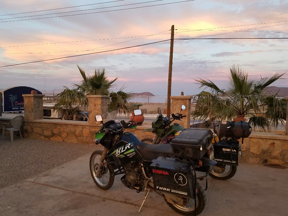
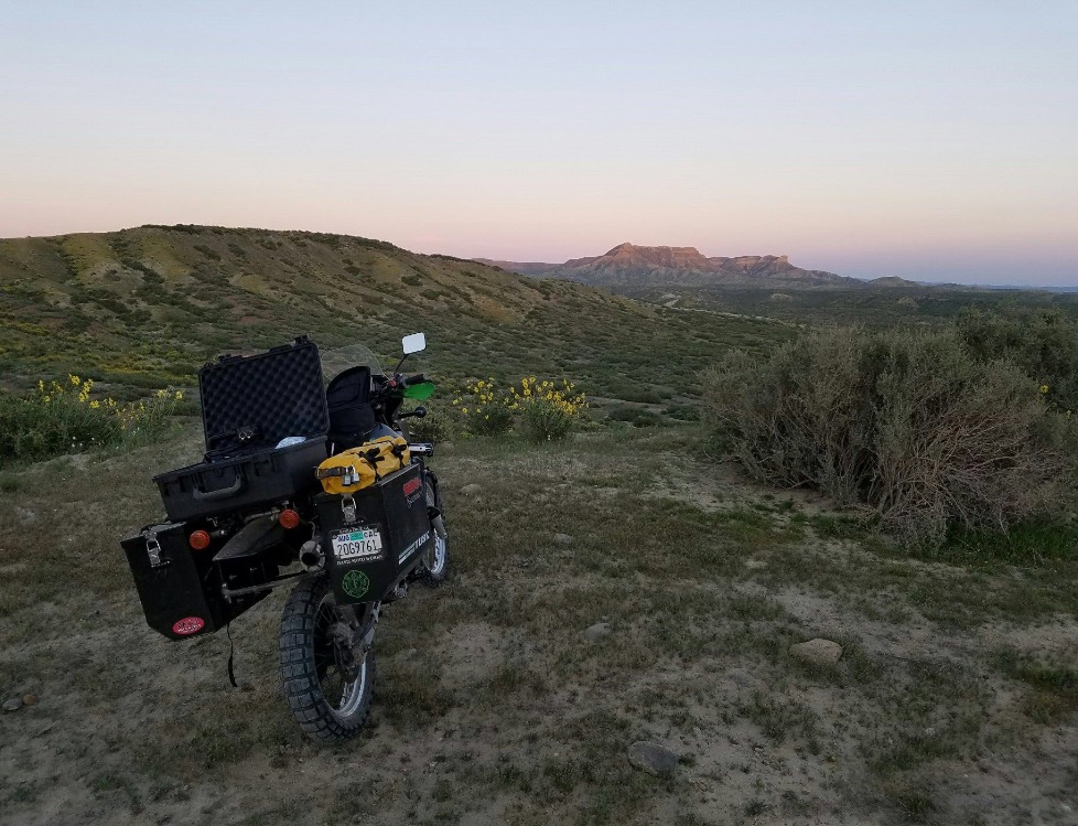
El Arco to San Ignacio

JT and I bid farewell to Greg and Guy and we turned our front tires for Vizcaino. Leading out of town is one small dirt road signaled by a hand painted and very faded sign. I glanced at the GPS and thought the 22 miles would go by fast as the road was very easy on our bikes. Not more than a mile into the trip, patches of sand began to appear. At first they were very short stretches and not to terrible. These sand patches began to appear more and more frequently, were of longer duration, and had deeper sand. I found myself gripping the bars tighter and tighter. The strain and discomfort in my muscles of my shoulders began to creep in and I felt like one large, knotted ball of fibers.

The only relief came when we would hit good stretches of road and I could relax a bit. On one of these, I was admiring the desert beauty when I hit a patch of sand, did the swerving thing several times as I tried to right myself, then slowed to about two miles per hour and lost control of the bike. I was pitched from the bike into the sandy road, luckily completely unharmed. I stood up, looked at the bike for damage (none), then looked for JT. All I saw was a dust cloud. The desert swallowed him up.

I quickly righted the bike and set off to find JT. We have a rule about trails. When one arrives at a fork, he is to stop and wait for the other. I arrived at a section that split off into three roads all seemingly paralleling the others. JT was not there. Which one did he take? Why didn't he stop and wait for me? Which one should I take? My mind raced.

In the Baja desert, it is very common for the locals to "make" their own side road so as to get off of the ruts, washboards, and deep sand. Maybe this was the case here? Nelson and Goldman were expert trackers and it is well recorded that their tracking abilities had saved their lives several times. So, thinking like them, I dismounted and set about to find JT's tracks. There were several other bikers on the road previous to us and we had marveled about how they were able to negotiate the sand pockets.

The tread patterns on our bikes are strikingly different, however, and it didn't take too long before I found which road JT had taken. It was the road on the far right. Interestingly, the middle and right roads did rejoin and that was the correct road to Vizcaino. If we had taken the road to the left, who knows where we would be.

It took a while, but we managed to get back to the highway and into Vizcaino for Kenny's Fish Tacos. We arrived at noon, just the right time for the best fish tacos in all of Baja. When we saw that Kenny's taco truck was not where it was always parked, we noted a new store and parking lot in its place. We set out to drive up and down to main road in town to find him, but struck out. He wasn't at his house either. Bummer!

We settled for tacos from another vendor nearby and made the decision to push on to San Ignacio. The wind was blowing at about 20 knots, dust was being kicked up, and we were tired. San Ignacio it was.

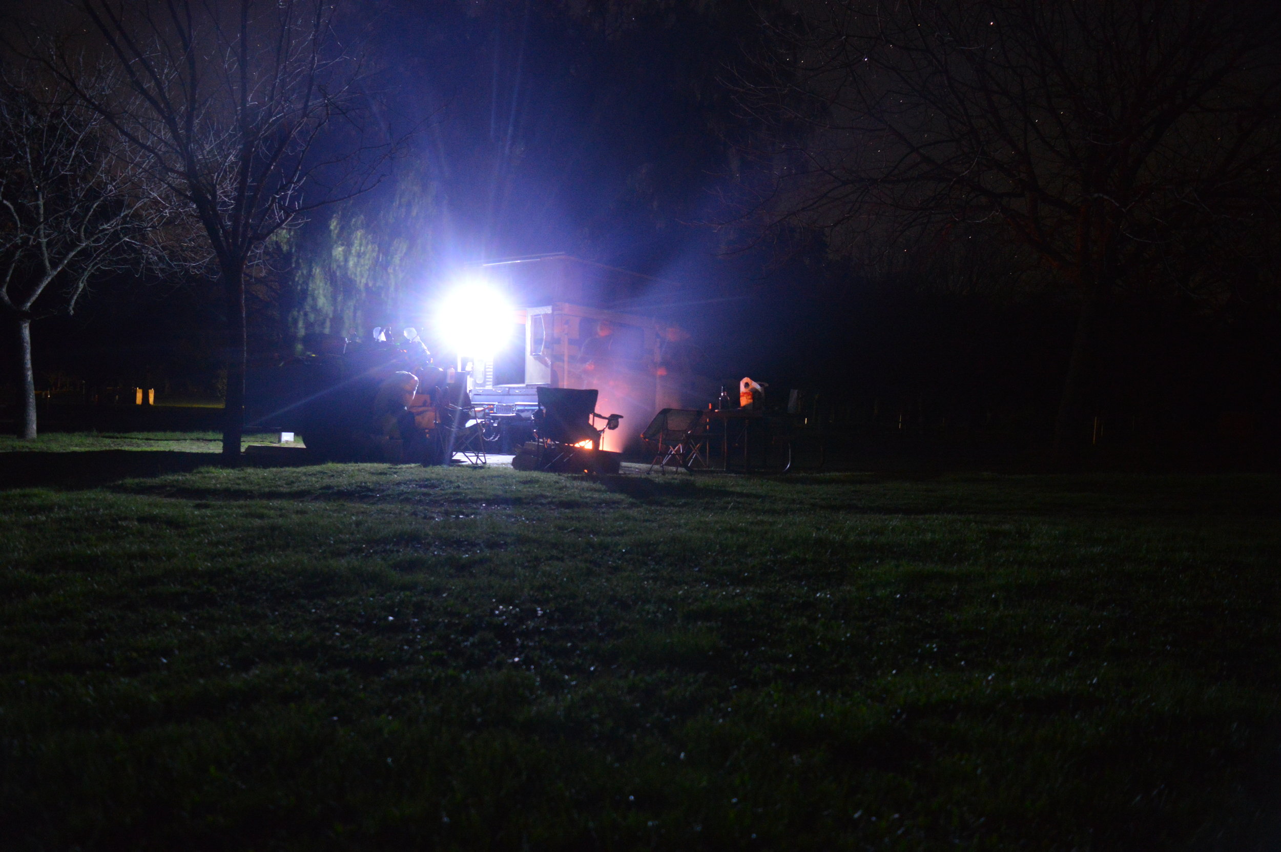
We found a room at the Desert Inn amid the beautiful date palms and lagoons. We needed a shower, means to charge all of our cameras and electronics, and to download and send data. Well, the power was out in the entire pueblo. No power to charge equipment. This also meant no water, since most of the town relies on pumps for their water.

We were saved several hours later and we proceeded to take care of business.

"The Devil's Road" Main Expedition, Day 16

Bahia de los Angels to Yubay

JT and I had a lazy morning while we finished packing our bikes. We needed to meet Greg and Guy at Yubay that night, so we set off out of town with full tanks of gas, plenty of water, and a little extra food. Before leaving town, we stopped and had lunch at Alejandrina's Restaurant and had a great meal. 

We turned off the main road onto the road to Yubay (we thought) and headed out into the desert. Soon after leaving the tarmac we got bogged down with sand. Then we were in the rocks and the going was better. After about 5 miles we began watching the GPS arrow indicator wanting to send us in a different direction. We came upon an abandoned mine and the road disappeared. We consulted the map and figured we turned off the main road too soon, so we turned around.

Once we were on the right road to Yubay, we quickly found ourselves in deep sand again. Figuring we were ahead of Greg and Guy, we decided to camp out until they arrived and spend the night right there. Greg and Guy agreed with our assessment of the road conditions and we moved camp up next to the rocks. We had a great fire, several beers and cracked open a bottle of red wine as the sun was setting. What a perfect night to relax and figure out our next move.

"The Devil's Road" Main Expedition, Day 15

Middle of nowhere to Bahia de los Angeles

During our debriefing last night we realized that we were one day ahead of schedule. Not wanting to camp at Yubay for two nights, we decided to head to Bahia de los Angeles, get a hotel, shower (since we have not had one in five days), charge all of our gear and batteries, and regroup.

Tomorrow we will head out to Yubay and meet Greg and Guy to film the tinaja and surrounding areas. 

Sunset over Bahia de los Angeles.

Sunset over Bahia de los Angeles.

"The Devil's Road" Main Expedition, Day 13

El Rosario to Cataviña

We were off quickly with a full day's filming schedule ahead of us. Our first stop was to take the 22-kilometer road out to El Marmol. This is an old abandoned onyx mine. It was being worked when Nelson and Goldman came through, but did not see it's hey day until the early to mid 1900s. The rock was said to be the finest in North America and was shipped to many parts all over the world. It is also the site of the only schoolhouse built of onyx. Now in ruins, it is clear to see the onyx walls and construction still standing tall. 

We attempted to take a side trip to Agua Dulce along the old El Camino Real. Now it is a private ranch, but in 1905 it was the only fresh water around for many miles. The "road" quickly turned into a sand pit and we made the decision to abort that attempt.

On the return to the main road, I dumped my bike at a slow speed on a small hill and it took both of us to right the heavy bike.  

While in the Sierra San Pedro Martir, we met Nathan, a young biologist and guide. He offered for us to stay at his cabin when we came to town. Arriving at his family's restaurant was a whirl of frenzied activity, as there were seven other people also invited to stay at his cabin. All of these folks were photography enthusiasts and two were Nathan’s friends we had met in the mountains.  

In a flurry, we left to his cabin "just twenty minutes away." Not knowing where we were going and just following the truck in front of us was not a good feeling for me. But, I trusted Nathan and the group was enthusiastic. It turned out to be twenty miles on the worst road I have ever been on. The sand was the worst. As the sun was setting, it was getting harder and harder to see the tracks in front of us. We finally made it, and I only dumped the bike 5 times compared to JT's one.  

Nathan's cabin sits on an 8,000-acre ranch and we were promised a tour that would be like no other in the morning. We all sat around a big fire, made burritos, and drank beer, tequila, and mescal. We crashed in the bunk beds in one of the many rooms of the cabin. 

Nathan, local Catavina resident.

Nathan, local Catavina resident.

"The Devil's Road" Main Expedition, Day 12

San Quintin to El Rosario

Without a room for the night, we were forced to sleep in the parking lot. The three hotels in the area were full for the night and as it was near dark when we arrived, we were not going to head back into town to find lodging. We woke with all of our gear soaked in dew and commotion about the area. Our only salvation was to quickly pack up and head south (without coffee or breakfast).

We arrived at Mama Espinoza's Restaurant an hour later and were immediately greeted by Elvira Espinoza (Doña Anita's daughter) who now runs the restaurant. She was very gracious and invited us to stay and enjoy the festivities with "This is your house, too!" We were told there was a benefit motorcycle ride the day before and today was an opportunity to give the town’s children beans, rice, and a toy. Many of the children and their parents showed up to receive a gift.

We were able to interview Elvira with interpretation help from her grand daughter, Michele. This is a wonderful and big family that does so much for the community. We met many family members that travelled from as far away as Ensenada and Tijuana to participate in the communal event.  

Shortly after, we headed out of town with the hopes of following the Nelson-Goldman route up the arroyo to find the camping spot they called "the cave." It was a popular spot where the "teamsters" would stop while delivering supplies to the local mines. We were thwarted by cultivated farmland that seemed to not allow us to get to the road into the arroyo. So, we changed course and went to a known campsite our family has always referred to as "Crash Dummy Car." When JT and Bri were young, we would always camp here. It was well off the highway, secluded, and the side road ended at an old overturned car. They loved to throw rocks at it, for the sounds they made were enjoyable.

We had a great evening to film and camp under a full moon. 

Interview with Elvira and Michele Espinoza of Mama Espinoza's Restaurant.

Interview with Elvira and Michele Espinoza of Mama Espinoza's Restaurant.

"The Devil's Road" Main Expedition, Day 11

Sierra San Pedro Martir to San Quintin

It was cold last night. Sleeping among the snow patches at 9,000-foot elevation usually is not considered to be a warm and pleasant experience.

The moon was nearly full and at this altitude it looked bigger than ever. It was brighter, too. The giant log we threw on the fire had completely burned up and left a perfect bed of coals to restart the fire when I woke. I really did not want to get out of my sleeping bag. I grabbed the camera and went for a walk as the sun was rising over the mountains and spreading across the snowy landscape. It was quiet, the air crisp, and if I closed my eyes I would swear that I was in the Sierra Nevada.

This range is a separate island extension of the Sierra Nevada that broke off hundreds of thousands of years ago. The Jeffery pine, granite rocks, juniper, and other shrubs are all the same. Camping next to us were three young biologists and photographers that were there to photograph and study the environment. So we took full advantage to grab an interview and get to know these three men. One was a marine biologist, the other was a guide, and the third was a herpetologist that specializes in animal rescue where roads are being built. All were very knowledgable about the fauna of Baja California. 

As we were organizing and getting our riding gear on, I noticed a nail sticking out of my rear tire. With a 60-km drive to the nearest town, I was weary about pulling the nail out. My mind quickly went back to the repair seminar that JT and I received from Bob Davis of Davis Moto Works back home in Santa Cruz. How to fix a flat tire in the desert was highlighted, and eventually all the tricks came flooding back into my head. A swift pull with the pliers revealed only a flesh wound. Lucky for us, no air was leaking and we were on our way. 

After a quick stop to drive to the top of the mountain to see the observatory (it was closed and no tours were being conducted) we took a few photos and pointed the front tires down hill. JT and I enjoyed a family tradition of a snow cone! This time it was Baja style: Margarita! 

The rest of the afternoon was dedicated to finding a California condor to film. We think we got film of four soaring out over the edge of the mountain range, but they were too far away to confirm. Either way, with only 30 condors here in Baja, the odds were against us in getting a glimpse of them.  

We closed out the day at the Old Mill Hotel and Restaurant in San Quintin.

Looking for California Condors in the Sierra San Pedro Martir mountain range.

Looking for California Condors in the Sierra San Pedro Martir mountain range.

Guest Blog: "The Devil's Road" Main Expedition, Day 8 - Part 2

Guest Blog by Eric Bruce

The eighth day of the expedition consisted of relocating the entire Bruce clan from San Felipe, at the coast of the Sea of Cortez, to Mike’s Sky Ranch in the mountains of the Sierra San Pedro Martir at about 4,000 feet elevation.  After waiting (patiently) for JT to run back to the airport to get his riding jacket from the plane and then waiting (impatiently) for Scott to learn how to file a flight plan to exit Mexico in a couple of days, we left our lodging and headed west at about 10 am.  I am Eric Bruce, slightly older brother of Todd Bruce, and my job today was to provide transportation for the support crew.  There were just four of us, but we loaded the Honda Pilot until almost full.  For those of you who’ve ever seen how Scott and Lauri pack, especially when they fly their own plane and space isn’t an issue, you can well imagine.

We traveled on nice highways for almost two hours, passing through one military checkpoint at the intersection of Highways 3 and 5, and stopped at a long stretch of remote road to film Todd and JT on their bikes.  My Honda Pilot has a sunroof and it turns out that Lauri’s slim figure was perfect for standing up in the back seat, poking her upper body out the roof, and filming in any direction.  So, we stopped at a turnout to get the camera from JT and drove several miles down the road while Lauri got some close-up footage of the bikers – we’d follow, then pass, then get in front, then they’d pass us, and we did this a few times so JT could have some footage to choose from.  He seemed happy, so we gave him back the camera and he put it all back into its protective case mounted to the back of his Kawasaki.  It was then he said something like, “Oh, sh*t, I think I dropped the two locks for the camera case!” He figured he put them on the bike’s storage box and probably just drove off.  So, we returned to the prior turnout and found the locks no worse for wear – one was at the end of the turnout and the other didn’t fall off for several hundred yards and was sitting in the middle of the highway.  Didn’t I read something like that earlier?  I hope this isn’t a recurring theme for their trip to the cape– equipment on the highway!

Getting to Mike’s Sky Ranch was 22 miles of dirt road – most of it was pretty nice and we barely bottomed out once, but a few steep parts tested the transmission of the Honda.  Of course, the dirt bikes were the perfect vehicle for this road.  We really had only one minor issue along the way. Despite my really amazing packing job, we heard a pretty loud cracking or popping noise and within seconds we all noticed the distinctive smell of tequila. I stopped and opened the back hatch and I feared that 3 L bottle of 100% agave juice might have broken, or spilled.  I didn’t pack it on its side, did I?  Of course not – turns out the cork had popped from the elevation change and we didn’t lose a drop. 

We managed to make it just fine to Mike’s and were happy to see the place had a swimming pool!  Problem was, we couldn’t see the bottom of the pool, so nobody was willing to go in.  We made a nice lunch for ourselves poolside and immediately rigged our fly rods and started walking up the San Rafael River in search of the Nelson trout.  Our major goal in Sierra San Pedro Martir was to catch and photograph a local trout with its unique markings.  

Despite Scott proposing that Todd be given the honor of catching the first Nelson trout (and he practically railroaded the vote by insisting on Robert’s Rules of Order), we really only gave Todd one pool to fish by himself before we all wet our lines and started drifting files down the river.  Within an hour, Todd whistled for JT to come film the fish he had on his line and JT ran with his camera to film.  There is some footage that proves it was a fish and probably proves it was a Nelson trout, but the fish slipped from Todd’s hand before a close-up could be obtained.  Wahoo, there are fish in this river, Captain!  About the same time, Scott strolls up to say he caught a fish, too, but he has no photographic evidence.  Unlike Todd’s fish, it did not have the characteristic blue spots with the crimson red stripe running behind the spots along the entire lateral line of the fish.  About a half-hour later, I caught a fish and was able to get a photo that clearly shows the same marking as Todd’s fish, plus the characteristic white tip on both the dorsal and ventral fins.  It, too, was unmistakably a Nelson trout.  And I’m sure you’ll be impressed that the total length of the three fish was AT LEAST 13 inches!  Two fours and a five.  Our goal has been met, technically.

Now, we’re not sure whether there is any established world record for size of a Nelson trout, but due to its very narrow range of habitat, we figure there likely isn’t one.  So, our new goals for tomorrow are to catch and release more fish (we plan to go further upstream as there are stories of larger pools of water that might hold larger fish), get one for Wayne and Lauri, get better video documentation, and establish a world record size.  For the Devil’s Road record, it was Todd who got the 5-incher!  Just what Dad had predicted.  In the meantime, Lauri made a really nice painting of the nearby mountains and enjoyed her day on strike (some woman’s acknowledgment thing that some of the guys couldn’t really get behind).  She ended her day of leisure with a meal cooked by Mike’s staff that included a piece of grilled beef the size of South America (OK, I meant shape).

Thank you for following this Baja adventure, and thanks to the entire film crew for letting me join in the effort. 

"The Devil's Road" Main Expedition, Day 4

Ensanada to Laguna Hanson

There was every conceivable noise and sound last night. The hostel is in the middle of town and I swear there was a police station just down the road. I could hear sirens all night long. We woke and got all of our gear back onto the bikes, which took quite some time. We had to shove the bikes into a very narrow alley (so narrow the panniers had to come off in order to fit) that could be locked.

La Bufadora is a natural blowhole in the rocks at the point on the southern end of Todos Santos Bay. It is quite the tourist attraction, with bus loads of tourists coming and going throughout the day. Everyone has to walk down this path that was like running the peddler's gauntlet. One could buy just about anything imaginable from these barking, persistent enterprising folks. With that attraction checked off of our list, we needed to get out of town! Saturday midday in Ensenada is not the time one should be trying to cross town to get to Highway 3! We were slowed by a funeral procession, blocked by emergency vehicles, and nearly sideswiped by a VW bug. 

Producer Todd Bruce

Producer Todd Bruce

Things really calmed down once we were off the pavement and onto the dirt roads heading to Laguna Hanson for the night. Or so we thought... We had a crash course in driving these heavy bikes in just a thin layer of sand; our GPS coordinates were definitely off by .3 to .5 miles, and we had our first dumping of a bike. I was in front and trying to negotiate too many ruts and washouts when I had to slam on my brakes to keep from launching into a chasm. JT, in an attempt not to hit me, did a 5 mph pitch and into the sand he and the bike went. Luckily, the only damage sustained was the sheering off of one of the fuel bottles. JT's pride was bent, but he was glad to get it over with, as it was the first spill. We arrived to find a perfect camp out of the wind right next to a group of large boulders.

Laguna Hanson was full and there were several rafts of duck out on the water. The lake is named after a Norwegian that was the first white man to see this lake. He built a nice ranch just down the hill from the lake in the late 1800s. That ranch is now, and was in 1905, called Rancho El Rayo. When Nelson and Goldman came through here, the ranch was the only place during their trek where they were confronted with unfriendliness and a disagreeable attitude.  

"The Devil's Road" Expedition: Days 1, 2, & 3

MARCH 1st (DAY 1)

We woke to a beautiful and chilly day in Santa Cruz to start our two-month trek into Baja California. Bill Sylvester (a retired fireman and friend of ours and one of our adventure consultants) showed up to send us off. Our friend Eric Doughty and his 5-year-old daughter, Gia, accompanied us for the ride through California. All went smooth until we were swallowed up in the greater Los Angeles traffic and the trailer started to wildly fishtail. A slower speed, faster speed, or use of another lane did not help. It was on the second safety stop when we found
that the nut holding the ball onto the hitch has loosened and we were millimeters away from catastrophe. Tragedy adverted!

We arrived at the Potrero County Park (San Diego County) at about 9:30 pm and went about setting up camp, starting a fire, and cracking open a bottle of whiskey. Even though it was very windy and a little chilly through the night, we slept great.

Camp at Potrero County Park (San Diego County)

Camp at Potrero County Park (San Diego County)

Campsite at night or arrival. 

Campsite at night or arrival. 


MARCH 2nd (DAY 2)

A sunny and warm day greeted us and allowed the needed time to pack. We spent the morning organizing, packing, and finalizing any last minute storage issues and drove the bikes to the town of Campo for fuel and a treat for Gia. We are surprisingly calm and excited for the journey ahead. Baja is a magical place for us and we both always feel at home when we are there. Can't wait.


MARCH 3rd (DAY 3)

The wind was blowing hard this morning when we woke up. The area looked like a garage sale, our stuff strewn about from the wind. A whole roll of paper towels was flapping in the wind as one end wrapped around a tree. After a quick breakfast and several cups of mocha, we packed the bikes were sadly saying goodby to Eric and Gia.

We didn't make it but a mile down the road when we had our first blunder. My Sena camera fell off my bike, hit my foot, and slammed onto the pavement while accelerating to 30 mph. The case blew apart, camera parts flying everywhere as JT and I madly tried to keep the other cars from running over the parts. We think we got all of them!

Today was as much about working out problems as it was about getting the filming started. JT forgot to put the locks on the top box as he drove off and nearly lost them. I just about dumped my bike twice while standing still! Our phones are not working. The GPS coordinates appear to be about a mile and a half off. It was all trial and error while figuring out how to use our Sena 10c cameras.  

We had a great ride along the Ruta de Vina. A beautiful road that winds through Baja's wine country and the Guadalupe Valley. This route was the road that Goldman took in 1906 at the end of their expedition. The pair took a steamer from La Paz to Ensenada once the expedition was complete. Nelson continued on to San Diego via steamer and Goldman took a stage coach from Ensenada to Tiajuana through the Guadalupe Valley.

Valle de Guadalupe, Baja's wine country.

Valle de Guadalupe, Baja's wine country.

Ensenada is a huge city. In 1905, there was only about 1,000 people living here and life centered around the waterfront. Now, the city thrives on the shipping industry, tourism abounds with the cruise ship bringing thousands of visitors daily, and one could find just about anything you desire here in this bustling and sprawling community.